Skip to Content
SpatialCraft | Verified Geospatial Intelligence
Land intelligence for better decisions

Make land decisions with Verified Geospatial Intelligence.

Spatialcraft is a Land Intelligence company that helps landowners, administrators, developers, architects, planners, brokers, and investors replace assumptions with verified ground reality.

Site model
Property boundaryBoundary · Roads · Survey points
P-01P-02P-03P-04 SPATIAL DATA · ONE CONNECTED VIEW N
Layers 15.2847° N   73.9636° E
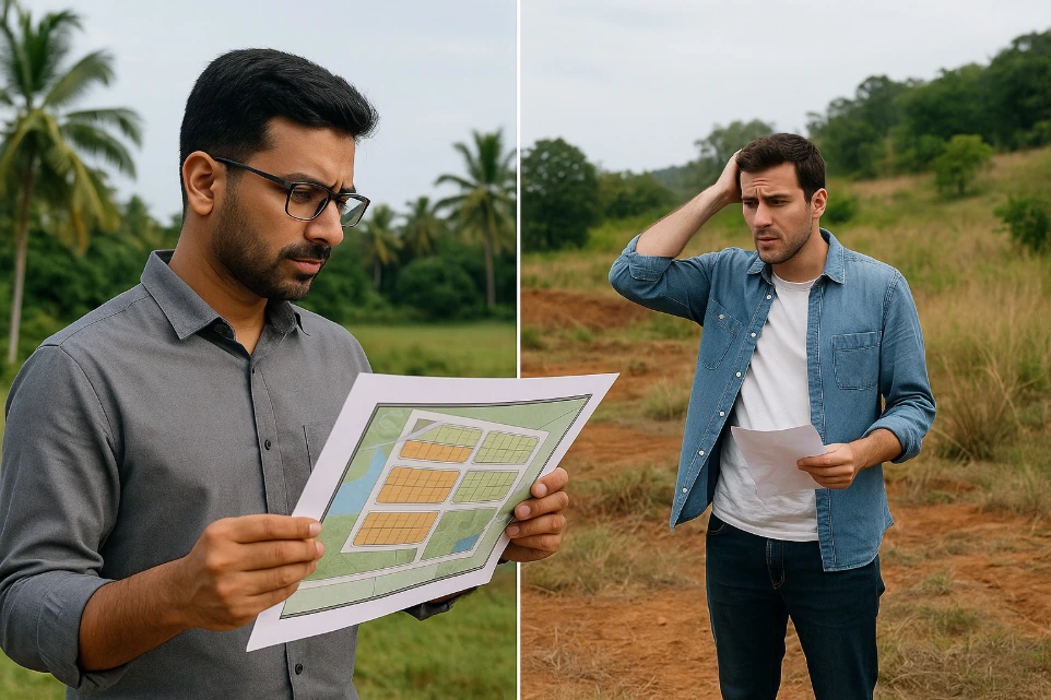
Two project stakeholders reviewing a land plan
The challenge

Land projects often begin with unreliable information and no clear understanding of the site.

Plot boundaries may not align with documents, terrain conditions are often misunderstood, and planning decisions are made using outdated or incomplete maps.

This lack of reliable spatial data can result in mid project surprises such as:

  • Boundary disputes
  • Costly planning mistakes
  • Project delays
  • Reduced investor confidence
Our approach

Turning Unclear Land Information into Clear and Reliable Maps

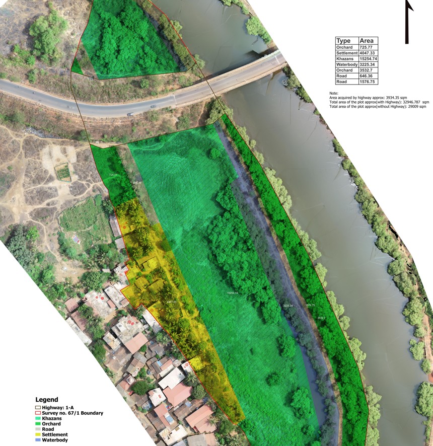
SpatialCraft combines drone surveys, ground survey validation, and GIS technology to create reliable spatial data for land projects.

We transform complex site information into clear maps and digital tools that help developers, architects, and investors understand terrain, boundaries, and layouts before critical decisions are made.

This ensures better planning, reduced uncertainty, and improved project communication.

Aerial land survey map showing site boundaries, road access, terrain and land-use areas
SpatialCraft products

Our Most Trusted Mapping Products Built for Developers, Architects, and Land Investors

Explore clear, reliable mapping products designed to help developers, architects, planners, and investors make informed decisions.

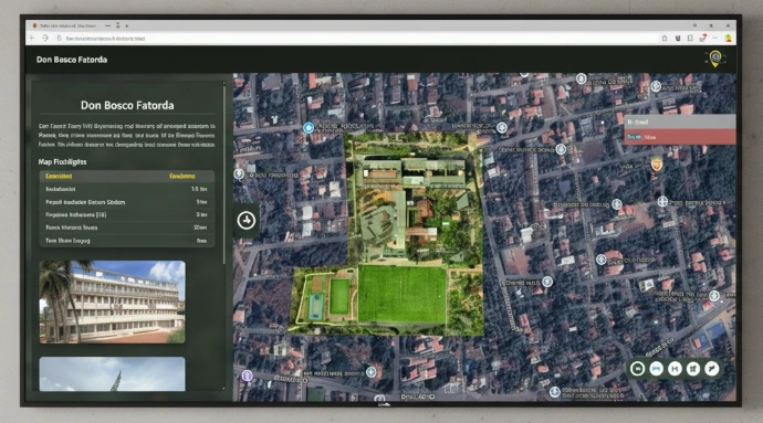
Interactive digital map for exploring a land development project
SIDM · Interactive mapping

Smart Interactive Digital Maps

Explore your project. Understand every layer.

SpatialCraft SIDM transforms traditional maps and layout plans into interactive digital maps that allow stakeholders to explore land projects online.

Developers, investors, and planners can easily understand project layouts, terrain conditions, and plot information through an intuitive web-based map.

Key features
  • Interactive plot boundaries
  • Terrain and elevation visualization
  • Measurement tools
  • Project information layers
Inquire about SIDM
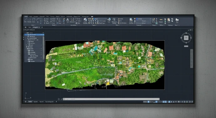
Aerial site map combining ground survey and drone imagery
SpatialCraft · Site mapping

SpatialCraft Go-To Map

One map. Complete site clarity.

SpatialCraft Go-To Map combines verified ground survey data with high-resolution drone imagery to create a single, reliable map of your entire site.

This unified base map helps developers, architects, and investors clearly understand terrain, boundaries, and site conditions before planning or development begins.

Deliverables
  • Ground and aerial data in one base map
  • High-resolution site visualization
  • Delivered in CAD (.dwg) format
Inquire about Spatialcraft Go-To Map
Selected work

SpatialCraft Projects

Explore how verified spatial data helps solve real challenges across land, cities, infrastructure, and the environment.

Trusted collaborations

Companies We’ve Worked With

Organizations building with clearer maps, better data, and stronger site insight.

Trusted by our clients

Good work. Real reviews.

Hear from people who trusted SpatialCraft with their surveys, mapping, and land decisions.

SpatialCraftVerified spatial intelligence
Contact our team

Contact

Office hours

Monday – Friday9:30 am – 5:30 pm
Saturday9:00 am – 2:00 pm
SundayClosed

Visit our office

  • Afonso SpatialCraft LLP
    FiiRE – Forum for Innovation Incubation Research and Entrepreneurship
    Don Bosco College of Engineering, Fatorda, Goa – 403602

© SpatialCraft 2026. All rights reserved.

Land intelligence for better decisions.