New Year 2026 Go To Map Clarity Offer
One Map. All Answers.

Claim Your Offers Right Now !!

New Year GTM Clarity Offer: January Only
End uncertainty in land decisions before it turns into delays, disputes, or lost capital.
For architects, developers, and investors who cannot afford surprises after purchase.
January Special:
Plots under 5,000 m² at a flat, limited-time rate
Get My Go-To Map
If You Can’t Validate It, You Can’t Trust It
If you’re still making land decisions using:
…that you cannot digitally validate, inspect, measure, or visually understand, you’re working on assumptions.
• Boundary disputes begin
• Redesigns happen
• Approvals stall
• Capital gets locked
The problem is not lack of data.
The problem is that your data is fragmented, non-visual, and not decision ready.

PDFs
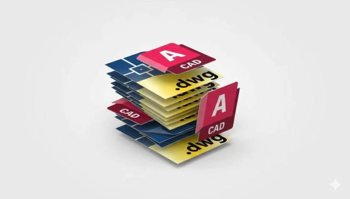
CAD files
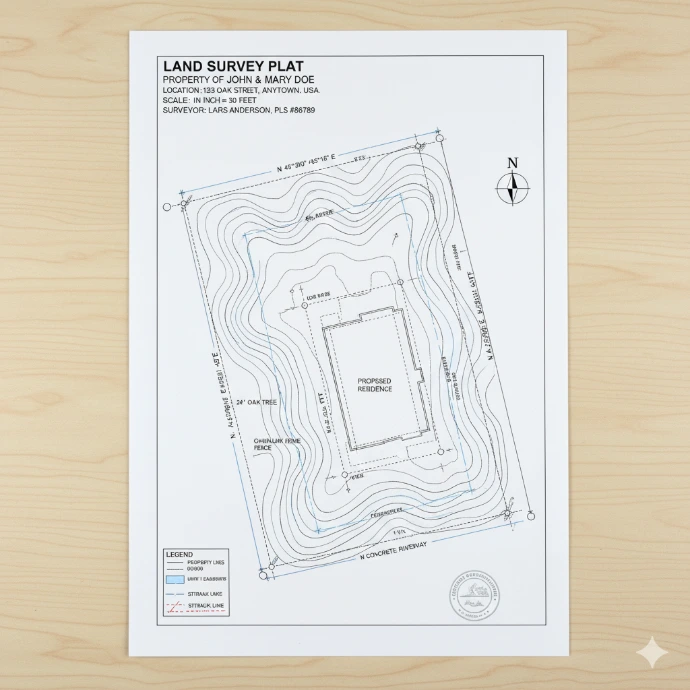
Survey plans
The Missing Layer in Land Decisions
On paper, everything looks fine.
On ground, it often isn’t.
Survey plans, PDFs, CAD files don’t show reality or miss site context.
Clarity doesn’t come from more documents.
It comes from seeing the truth spatially.

Introducing the SpatialCraft Go-To Map
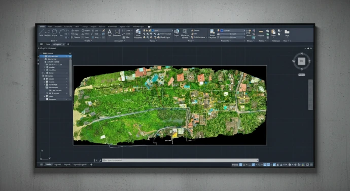
We didn’t build another “survey.”
We built a decision system.
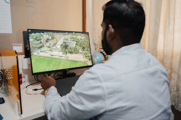
The Go-To Map is a single, integrated, decision-ready map that combines:
- High-resolution aerial mapping
- Physical ground validation (DGPS)
- Boundaries, contours, and terrain intelligence
- Access, surroundings, and site context
All delivered in one clear, defensible output.
One map that everyone sees.
One truth everyone agrees on.

Why This Is Different
Traditional workflows:
- Multiple vendors (traditional surveyor, drone surveyor, photographer and cinematographer)
- Disconnected reports
- Weeks or months of back-and-forth between project stakeholders
- No single source of truth
The Go-To Map changes that.
What You Get
- Drone + DGPS hybrid validation (not assumptions)
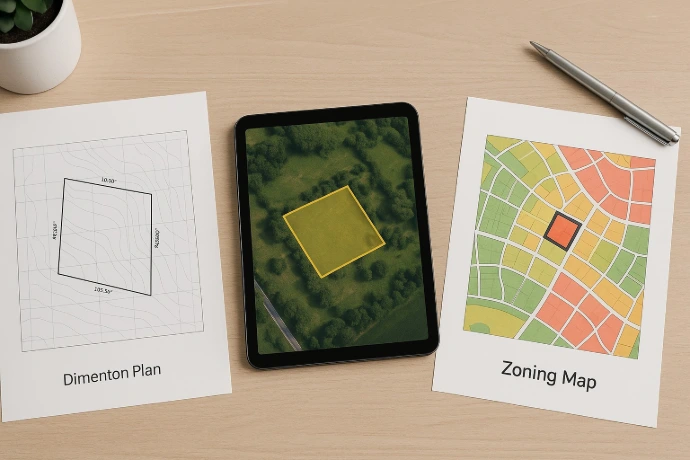
- Integrated boundaries, zoning, access, high resolution map and terrain data in a single CAD (.DWG FILE)
- Decision-ready base map for design, approvals, and negotiation
- One authoritative deliverable—not five conflicting ones
- Faster turnaround without compromising accuracy
January 2026 New Year Offer (Limited Time)
To help projects start the year with clarity, we’re opening
a January-only GTM offer.

Any plot under 5,000 square meters
Complete Go-To Map system
Flat rate
January onboarding only
What This Unlocks for You
After this, you’ll be able to:
- Negotiate land deals with proof, not promises
- Give architects a verified base map they can trust
- Avoid post-purchase surprises and redesigns
- Reduce disputes with partners, buyers, and authorities
- Make confident decisions remotely—without repeated site visits
This is clarity you can act on.


The Real Cost of Getting This Wrong
Unclear land data routinely leads to:
- Redesign costs and consultant rework
- Approval delays and holding expenses
- Legal disputes and compensation
- Lost
saleable or unusable land
One wrong assumption can cost more than structured spatial clarity upfront.
What’s Included in the Go-To Map
- High-resolution aerial mapping
- DGPS-validated physically verified property boundary overlay
- Contours (1m interval, 3*3m grid)
- Site access, structures, drains and surroundings mapping
- Integrated, decision-ready output
This is not a report.
This is your project’s single source of truth.
Limited Capacity.
We onboard a limited number of GTM projects per month to ensure:
- Quality control
- Accurate validation
- Timely delivery
Once January capacity is filled, onboarding pauses.
If the delivered Go-To Map does not meet the agreed scope and validation standards, we rework it until it does.
Clarity is non-negotiable.

How It Works
- Project consultation
- Drone + DGPS survey execution
- Processing & validation
- Final delivery
You know exactly what you’re getting and when. All the deliverables are completed within 3 days post survey data collection on site.
Final Word
One Map. One Truth. One Decision System.
Start the year right.