
How a Goan living abroad built a complete picture of his family's land assets without having to visit every property himself.
The Goa Ancestral Land Discovery — Case 02
Names, locations and identifying references have been changed to protect client confidentiality.
Sebastian is in his late 50s and was born and brought up in the UK.
His family had migrated from Goa, but he still had childhood memories of the place.
Now, with his parents' family assets being settled, Sebastian and his two siblings, who were settled in the Netherlands and Canada, needed to understand exactly what the family owned in Goa.
In his case, the problem was not that the properties were completely unknown.
He had the survey numbers. He had the property documents.
What he didn't have was a clear picture of the land itself.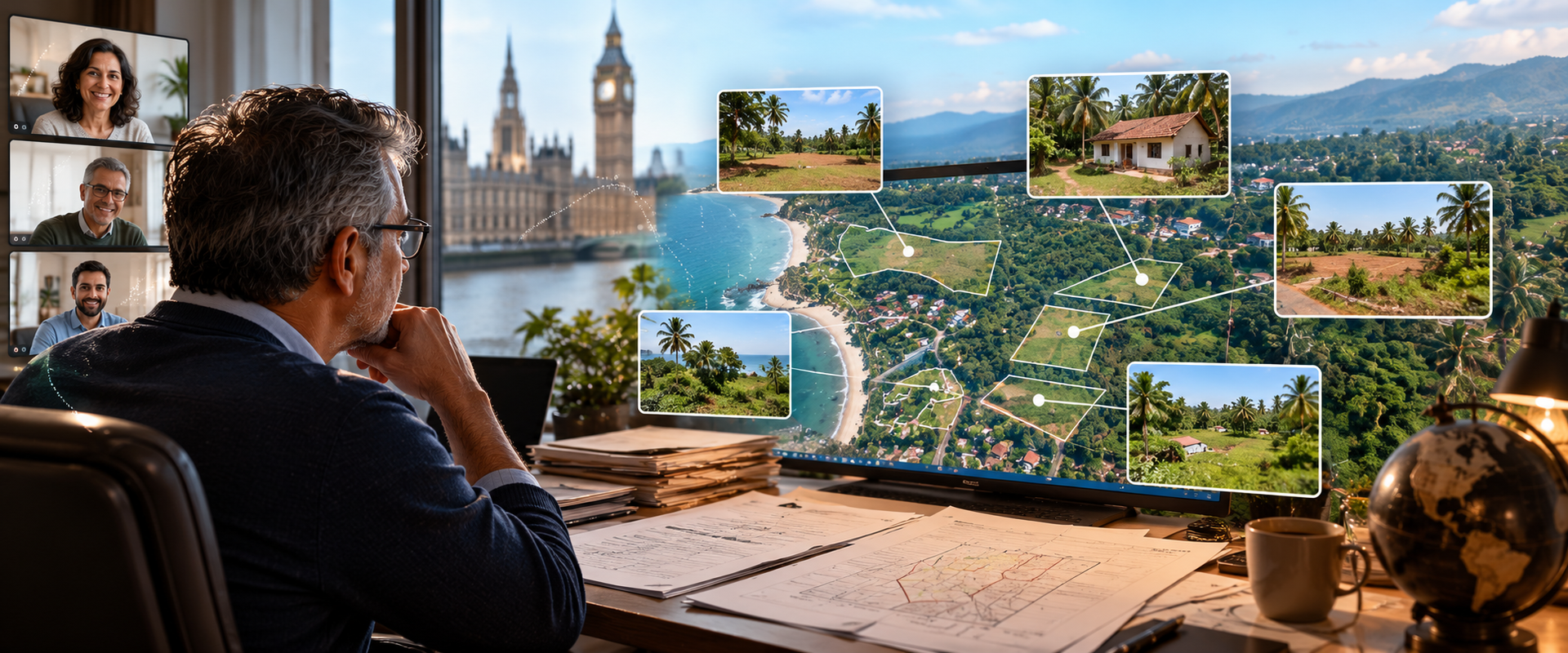
The properties had been out of sight for decades
The family's properties had been entrusted to tenants, or Mundkars, who had looked after them in Goa for many years.
The main tenant Sebastian had depended on had passed away some years earlier.
Over time, communication and information about the properties had diminished.
There were also disputes within the tenant families. Sebastian was particularly concerned that tenants had obtained their parents' signatures and secured their share of the tenanted property without his knowledge.
He was now also facing pressure from the same tenants to sell the remaining part of the property to them at an old market rate, something he was not prepared to do.
The bigger problem was that Sebastian had not visited the properties for more than three decades.
He had the survey numbers.
But he didn't know what was actually there.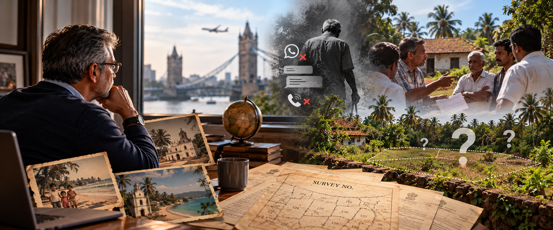
What Sebastian really needed was an inventory
Before making decisions about the family assets, Sebastian wanted to establish the ground reality.
He wanted to know:
Where exactly were all the properties?
What did each property actually look like today?
Could the physical boundaries be identified?
Did the ground situation correspond with the government survey plan?
Were there any deviations or discrepancies?
What was the access to each property?
What was the surrounding situation?
What could the family actually do with the properties?
And ultimately, what were the assets worth and how could the siblings make decisions about them?
And he wanted to do this remotely.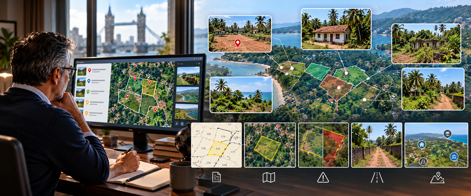
We approached it in stages
We structured the work so that Sebastian could progressively build a picture of each property.
The first step was to locate and identify the properties.
We then carried out aerial reconnaissance of the sites to understand the property and its surroundings, including available access.
Once the properties had been identified, we arranged for the sites to be cleared of trees and bushes where necessary so that the boundaries could be exposed.
With the boundaries visible, the properties could then be surveyed and compared with the government survey plans.
This allowed us to identify deviations and discrepancies between the recorded survey information and what was actually present on the ground.
For some of the coastal properties, we also carried out zoning analysis.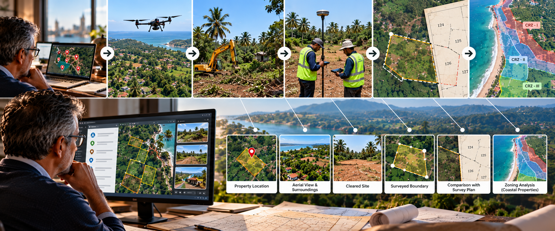
Then the properties became visible to him
The final information was not just a set of survey numbers.
Sebastian received an integrated picture of his family's properties.
We provided interactive mapping along with virtual tours of the properties, including both ground-level and aerial views.
For someone who had not visited the properties in more than thirty years, this made a significant difference.
He could now understand:
where the properties were, what they looked like, how they could be accessed, where their boundaries were, and what the present ground situation was.
He could look at the properties remotely and use that information when discussing the family's assets with his siblings and when considering future decisions, including valuation and the possibility of selling some of the land.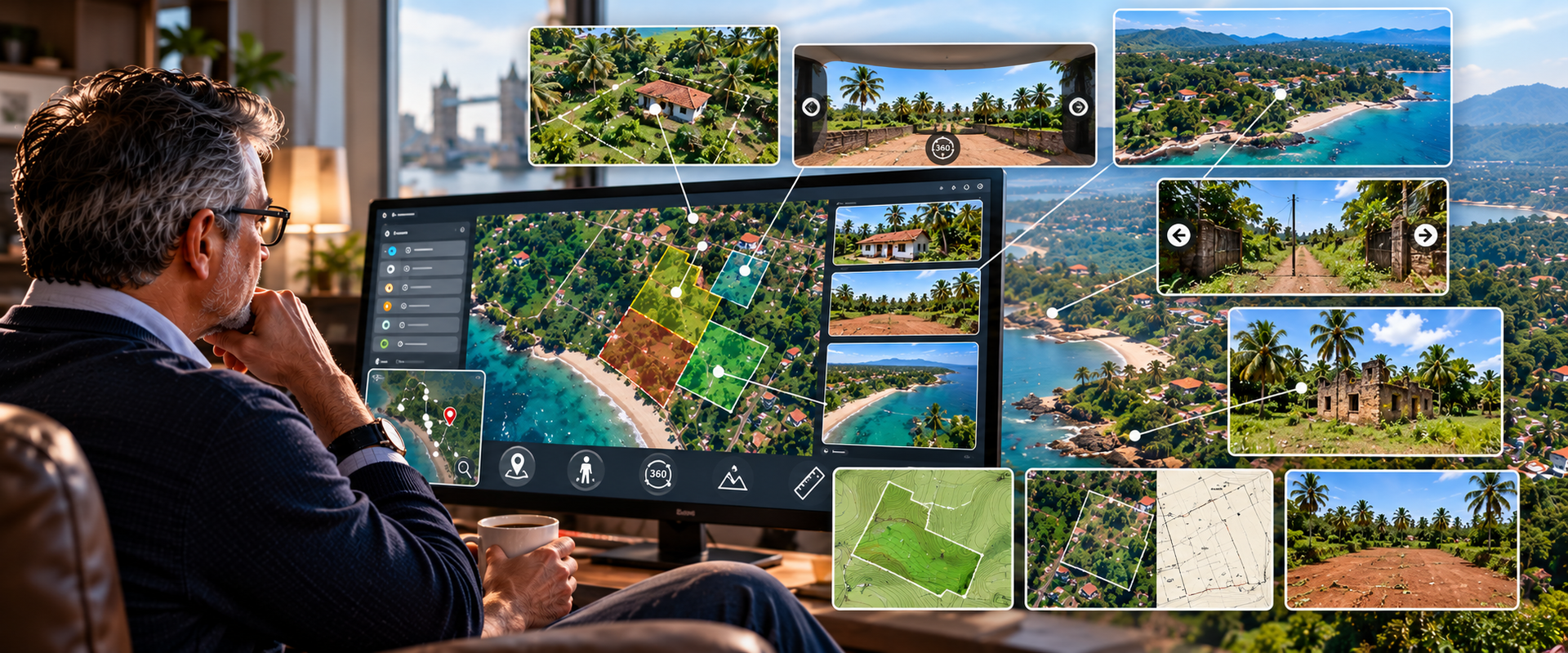
He didn't have to travel back just to find out what he owned
For Sebastian, the biggest change was clarity.
He had started with property documents and survey numbers, but very little understanding of the present-day physical reality.
The project turned those records into something he could actually see and understand.
He was able to build a clear picture of his family's land without having to set foot on every property himself.
That gave him something far more useful than a list of survey numbers.
It gave him a basis for making decisions.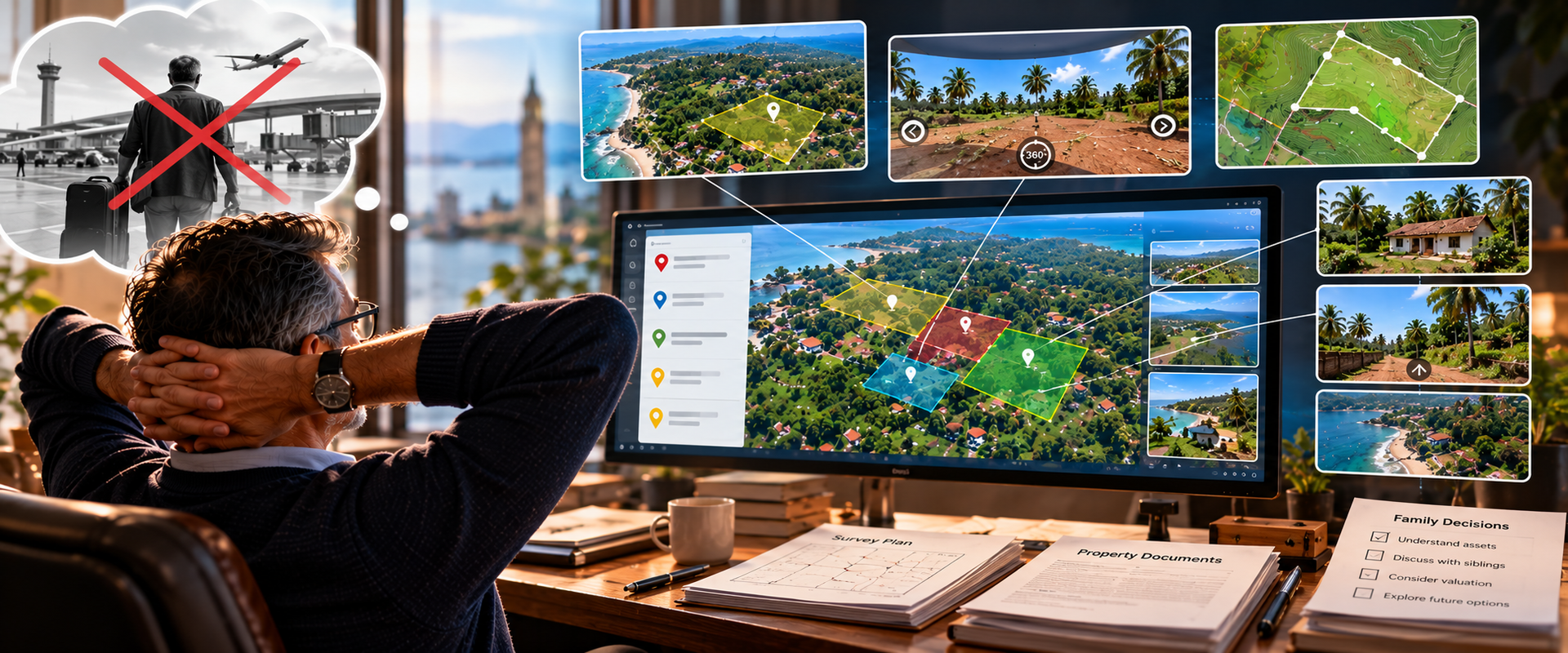
Could this be your situation?
Perhaps you live outside Goa.
You may already have your family's property documents and survey numbers.
You may even know exactly how many properties your parents or grandparents owned.
But if you haven't visited them for decades, you may have no idea what has happened on the ground.
You may be dependent on tenants or other people to tell you what is happening.
You may want to understand the properties before discussing them with your siblings.
You may want to establish their boundaries, condition, access and present situation before deciding whether to retain, divide, value or sell them.
You may know the land on paper.
But do you know the land as it exists today?
That is where a proper spatial inventory can help.
The Goa Land Files
Case 02: I Know the Survey Numbers. But I Haven't Seen My Family's Land in 30 Years.
This case study is based on an actual project undertaken by Special Craft. Names, locations and identifying references have been changed to protect client confidentiality.