
The Situation
With monsoon approaching, a mining operation needed to finalize material removal contracts across multiple stockpiles—fast.
The challenge?
- No accurate, up-to-date volume data
- Large dump area with multiple stockpiles
- Limited time window before weather disruption
- High financial risk tied to incorrect estimates
Because in mining, stockpile volumes don’t just inform operations—they directly impact contractor payments, timelines, and financial decisions.
The Challenge
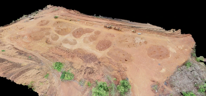
The site consisted of ~9 stockpiles, each containing thousands of cubic meters of material.
Traditional survey methods would have required:
- Several days to weeks
- Large ground teams
- Operational slowdowns
- Increased exposure to weather delays
That timeline simply didn’t exist.
And more importantly—
Any error in estimation could lead to costly overpayments, disputes, or delayed decisions.
The Approach
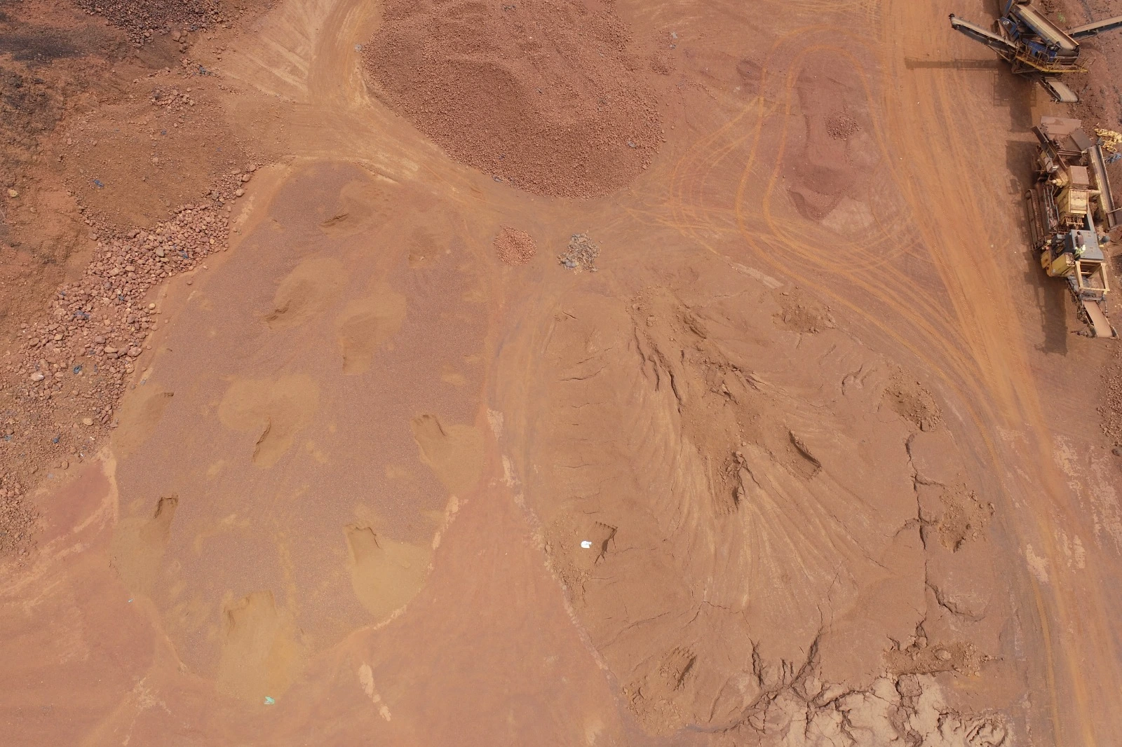
A drone-based photogrammetry workflow was deployed to capture and process the entire site rapidly.
In a single-day operation, the team:
- Conducted complete aerial data acquisition
- Generated high-resolution orthomosaic imagery
- Built Digital Surface Models (DSM) and Terrain Models (DTM)
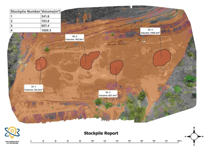
- Identified and delineated individual stockpiles
- Computed volumes using the Digital Elevation Models
All of this was done without disrupting ongoing operations.
The Outcome
- Turnaround Time: 24 hours (survey + analysis)
- Coverage: Entire dump area with 9 stockpiles
- Volume Scale: Thousands of cubic meters per stockpile
-
Accuracy: Achieved ±3–5% volume accuracy, aligned with industry-standard drone photogrammetry benchmarks and validated against actual moved quantities
- Validation: Strong alignment with actual moved quantities post-execution
Most importantly:
The client was able to finalize contractor decisions on time, avoiding delays and reducing the risk of incorrect estimations.
Why This Matters More Than It Seems
Stockpile measurement is often treated as a routine task.
But in reality, it directly influences:
- Contractor payouts
- Project timelines
- Financial planning
Even small errors can lead to:
- Overpaying or underpaying contractors
- Disputes during execution
- Delayed decision-making
In this case, delivering accurate data within 24 hours didn’t just save time—
It enabled confident, timely decision-making before external conditions (like monsoon) created operational constraints.
Why Traditional Methods Fall Short in Time Critical Scenarios
Ground-based surveys struggle when speed and scale are critical:
- Slower coverage across large areas
- Higher dependency on manpower
- Increased exposure to environmental delays
- Limited ability to deliver fast, repeatable outputs
In contrast, drone-based approaches enable:
- Rapid full-site coverage
- Consistent, high-resolution data
- Faster processing into actionable insights
What This Means for Mining Operations
When stockpile volumes directly impact contracting, delays and inaccuracies aren’t just operational issues—they’re financial risks.
Access to decision-ready volumetric data within 24 hours allows teams to:
- Make faster, more confident decisions
- Reduce estimation-related risks
- Improve contractor negotiations
- Maintain operational continuity
Final Thought
In time-sensitive scenarios, the ability to combine speed, accuracy, and reliability can significantly influence outcomes.
This project demonstrated how rapid, decision-ready volumetric analysis can support critical operations without delays or disruption.
SpatialCraft specializes in rapid, decision-ready geospatial analysis for time-sensitive operations.